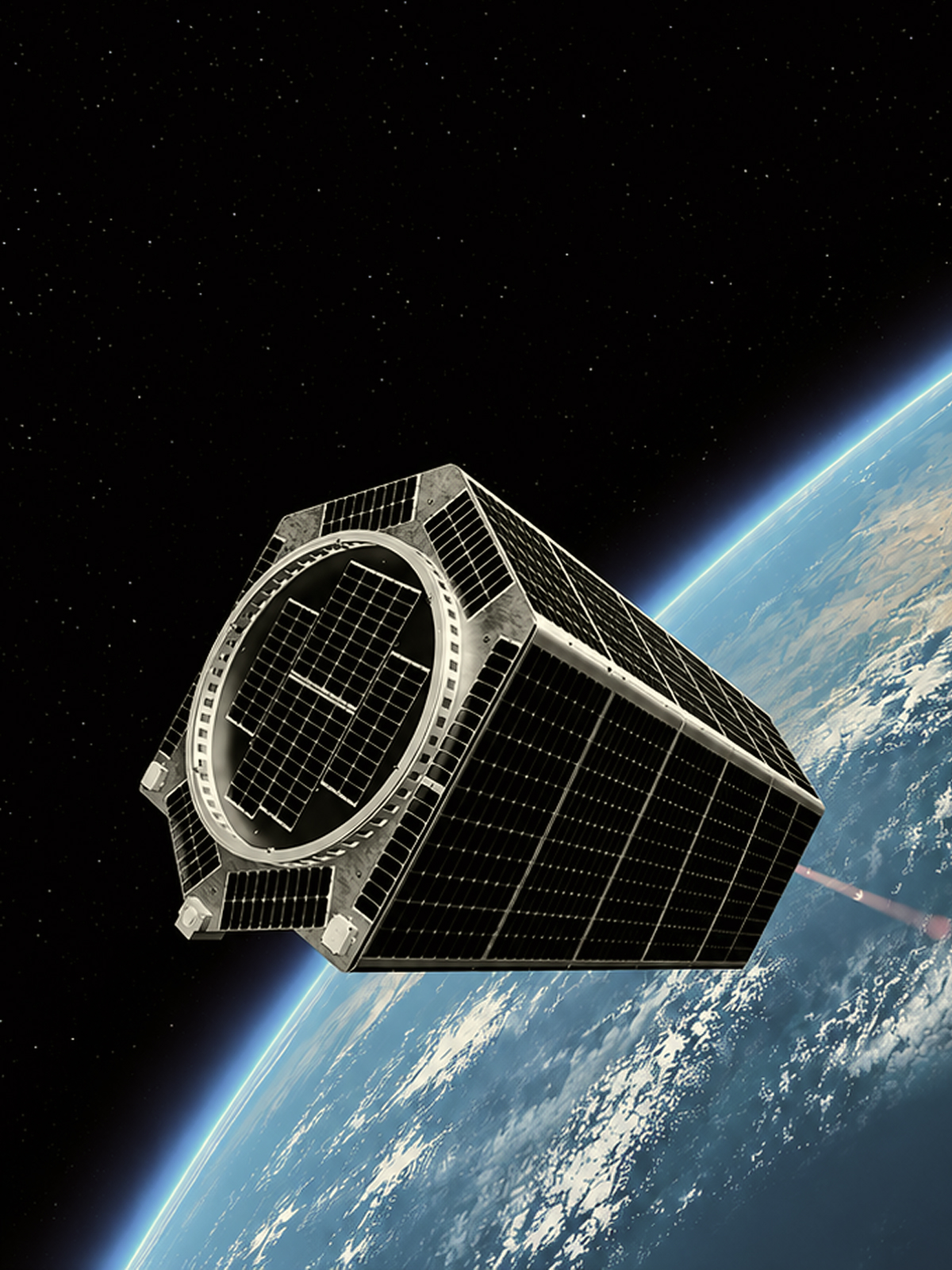
Teardown: Clarity-1
c/o Albedo, Clarity-1 VLEO satellite captures ultra high-res 10cm optical + 2m thermal imagery.

Albedo is a space technology company that builds flight-proven Very Low Earth Orbit (VLEO) satellite buses, enabling defense and commercial payload operators to fly at ultra-low altitudes for superior proximity, higher power efficiency, and enhanced survivability against space debris and radiation.
Visit Website
c/o Albedo, Clarity-1 VLEO satellite captures ultra high-res 10cm optical + 2m thermal imagery.

Industrial and technology legends toast to American Agency.
Albedo announced Vicinity, their second VLEO satellite mission launching in 2027. It builds on their existing Precision bus but adds deployable solar arrays to support higher-power payloads like radar and communications systems, advancing Albedo's goal of making Very Low Earth Orbit accessible for defense and sensing missions.
Read MoreAlbedo’s Clarity-1 pathfinder satellite validated key technologies for operating in Very Low Earth Orbit, including propulsion, atomic-oxygen-resistant solar arrays, and core spacecraft systems. Despite a control-moment-gyroscope issue that ended the mission early, the test confirmed most of the technology needed for the company’s next generation of high-resolution imaging satellites.
Read MoreAlbedo is exiting the commercial satellite imagery market and shifting its focus to building Very Low Earth Orbit (VLEO) satellite buses for other payload operators. The move follows strong performance from its Clarity-1 satellite and growing demand from defense and commercial customers for VLEO platforms.
Read More